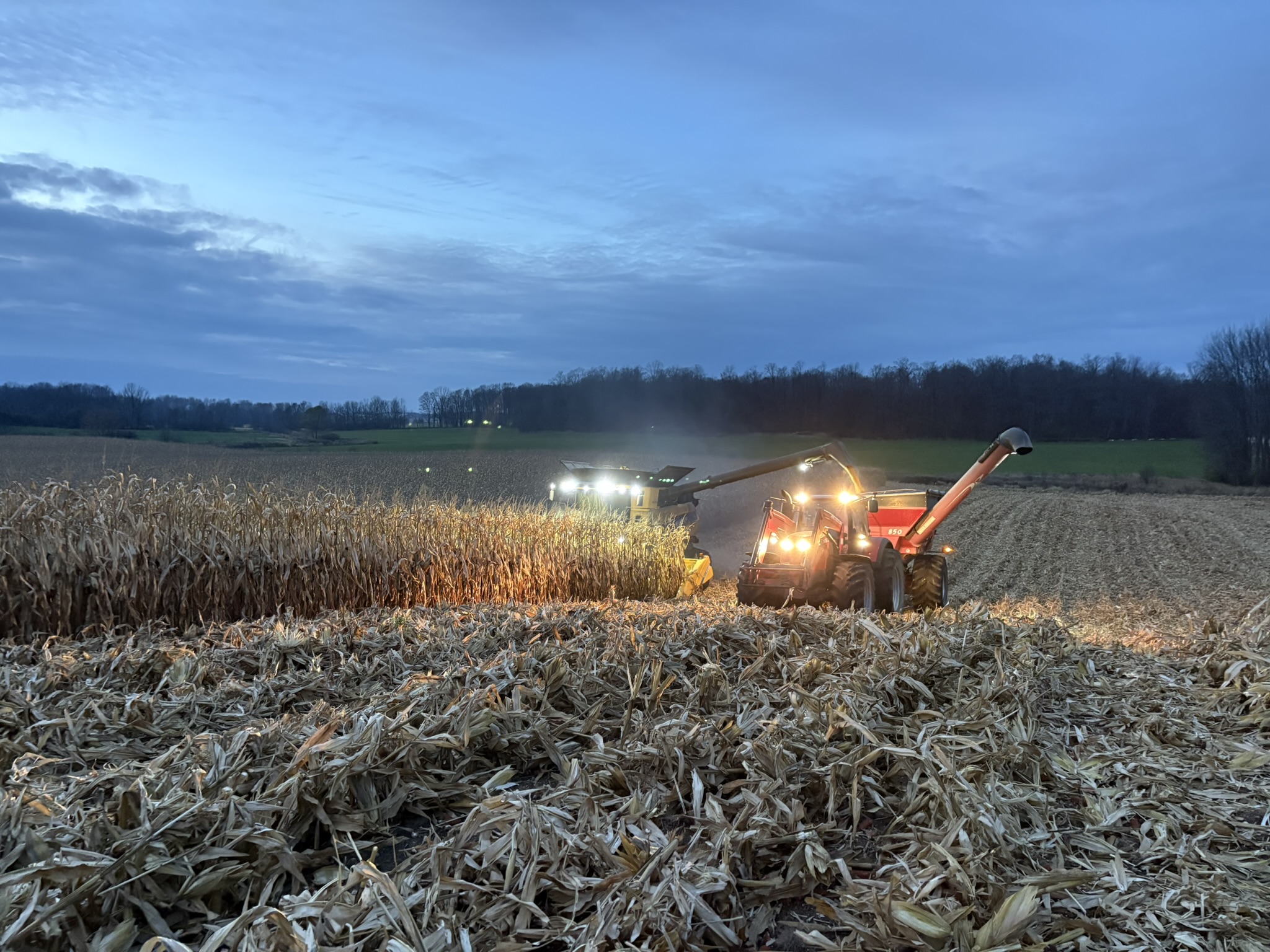
One Rate Leaves Money on the Table
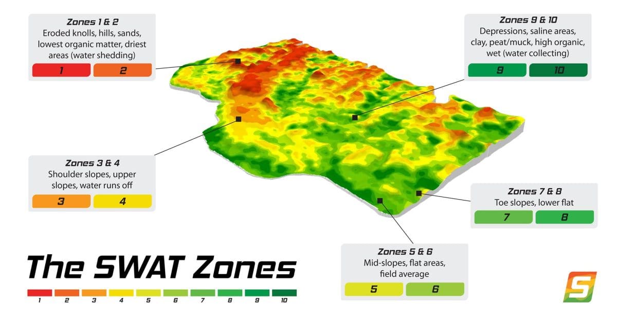
Soil texture, water movement, elevation and topography (SWAT) all shape how your crop performs; SWAT Maps brings these layers together to show how your acres differ. Using this data, we can build seed and fertilizer scripts suited to each management zone and make every input count.
Best fit: Growers already working with us on crop plans. New to Fieldwalker? Begin with a crop-planning call.
SWAT Maps in The Field
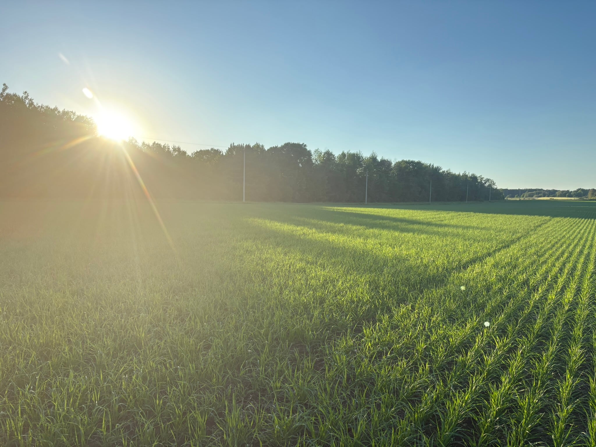
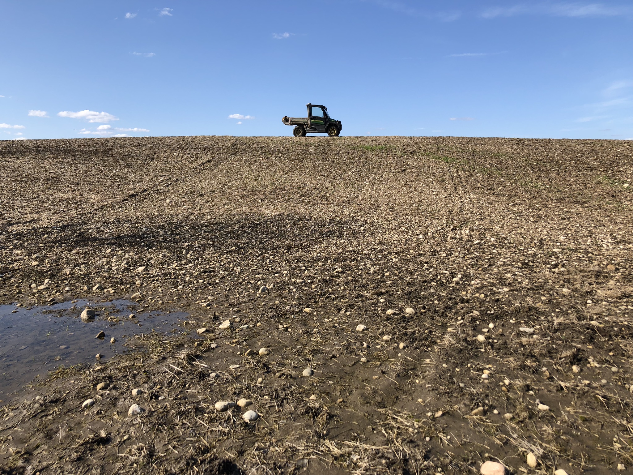
Have you ever noticed differences in crop performance on knolls vs. depressions? SWAT Maps helps quantify what's driving these differences. By layering landscape position with soil and moisture data, SWAT Maps classifies like areas into management zones. Using these maps, we can sample and assess crop requirements separately to develop variable rate seed and fertilizer scripts.
1
Mapping
High-resolution soil, water and topography mapping of the field.
2
Zone Based Data Collection
Zone-based soil sampling, stand counts and in-season checks.
3
Variable Rate Prescriptions
Seed and fertility rates set by zone.
4
Yield Analysis by Zone
End of year yield analysis performed zone by zone.
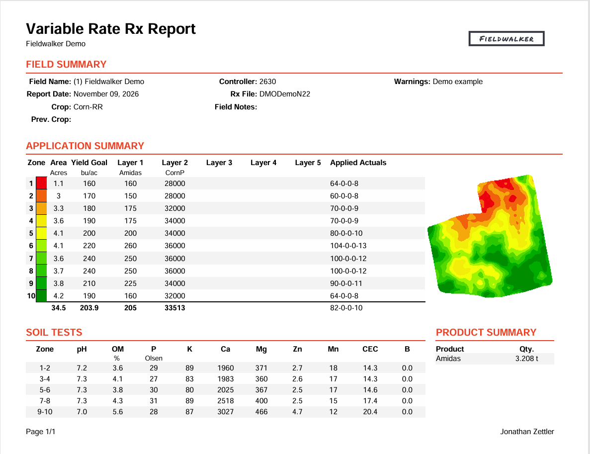
Example of variable rates set for each management zone, based on SWAT soil sampling results and zone-specific yield goals.
Beyond Variable Rate
Varying rates is only part of the job. The real goal is finding the most profitable rate for every zone in your field. Croptimistic Technology Inc. reports that growers surveyed see an average 6x return on their SWAT Maps investment due to improved agronomic decision making.
Experience
Fieldwalker Agronomy was the first service provider to introduce the technology into Ontario, operating as a SWAT Maps partner since September 2018.